AI for Sustainable Farming: Tackling Greenhouse Gas Emissions and Empowering Responsible Finance
Omdena and Agreed Earth built an AI model to estimate farm emissions, empowering banks to finance sustainable agriculture and climate action.


Kelly, Agreed Earth’s CEO, is speaking to a UK Regenerative Farmer
Omdena and Agreed Earth built an AI model to estimate farm emissions using real and simulated data. The system helps banks track and reduce agricultural greenhouse gases, supporting sustainable finance and global net-zero goals. More broadly, it illustrates how AI in agriculture can support sustainable farming and responsible finance when powered by cutting-edge technology.
The Environmental Impact of Modern Agriculture
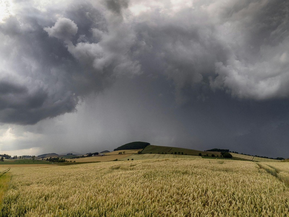
Modern farming, especially on a large scale, is far from environmentally neutral. Crop production, livestock farming and land‑use change all contribute significantly to greenhouse gas (GHG) emissions and other environmental impacts. Agriculture accounts for nearly 30 percent of the world’s total emissions, driven largely by the use of chemical fertilizers, pesticides and animal waste. Demand for food is increasing as the population grows and diets change; this, combined with the conversion of forests and other non‑agricultural land into farmland, means emissions are expected to rise unless practices change.

Ai in Agricultur
Among agricultural emissions, nitrous oxide and methane are the most significant, together representing more than half of total agricultural greenhouse gas output. These gases have a strong warming effect and are more harmful than carbon dioxide in the long term. Addressing them is essential if the world is to meet climate targets. Without intervention, agricultural expansion and unsustainable land use will continue to intensify the effects of climate change. To counter this, innovative methods and sustainable farming practices are needed to support both productivity and environmental health. Many of these innovations are already being driven by companies and organizations leading sustainable agriculture that combine technology, data, and environmental stewardship at scale.
Project Goal: Using AI to Support Sustainable Farming
This article explores the Agreed Earth Omdena AI Innovation Challenge and the machine‑learning system it produced. The team set out to develop a model to estimate greenhouse gas emissions from farming by combining synthetic data generated through biochemical simulations with ground‑truth data from actual emission measurements. By improving the availability and accuracy of these emission estimates, the project aims to help farmers adopt sustainable practices and assist banks in advancing their sustainable finance commitments. With reliable data, financial institutions can make informed decisions, support eco‑friendly projects and guide the agricultural sector toward a low‑carbon future. In short, it demonstrates how AI for sustainable farming can empower responsible finance.
Challenges in Estimating and Reporting Agricultural Emissions
The agricultural sector is complex, and its diverse processes make emission estimation difficult. Collecting accurate data, quantifying emissions and reporting results all present significant challenges. Based on research and reports from the Principles for Responsible Investment (PRI), Ceres, and the Task Force on Climate‑related Financial Disclosures (TCFD), several major obstacles were identified:
- Data availability and quality. Banks often struggle to obtain complete and accurate emission data from all parts of the agricultural supply chain. Reliable estimation depends on consistent, transparent and standardized data collection methods.
- Scope and boundaries. It is essential to clearly define the scope of emissions to be measured and reported. Collaboration among stakeholders helps establish consistent methodologies and ensures that each actor understands their role in the process.
- Measurement and verification. Accurate measurement requires suitable methods and consistent application. Verification of data increases both the credibility and the reliability of emission reports, helping build trust with stakeholders.
- Supply chain complexity and transparency. Agricultural supply chains involve many actors, intermediaries and stages. Banks need to navigate this complexity by promoting transparency, collaboration and information sharing to track emissions more effectively across the chain.
- Integration of emerging technologies. New tools such as remote sensing, satellite imagery and IoT sensors can improve emission estimates. However, banks must manage challenges such as cost, data compatibility and the technical expertise needed to use these tools effectively.
- Alignment with reporting standards. Finally, aligning emission reporting with recognized standards like TCFD enhances transparency and comparability. Consistent financial disclosures help investors, regulators and stakeholders make informed decisions and assess climate‑related risks more accurately.
Our Approach: Data, Models and Knowledge‑Guided Machine Learning
The Omdena Challenge project addressed these challenges by creating a machine‑learning system to estimate nitrous oxide (N₂O) emissions using input data such as soil properties, weather conditions and crop details. The first phase of the project involved exploring and analyzing available datasets, especially satellite data. The team identified APIs that provide access to satellite imagery and summarized their functionalities. They also collected information about satellite characteristics, including spatial resolution, temporal resolution and available data bands.
Available Satellite Data APIs
| Name | API link | Satellite data available |
|---|---|---|
| Google Earth Engine | https://developers.google.com/earth-engine | Landsat |
| STAC | https://stacindex.org | STAC catalogs |
| Satellite Imaging Corporation | https://www.satimagingcorp.com/applications/natural-resources/agriculture/ | NDVI |
| Planet Explorer | https://account.planet.com | Includes imagery from Planet’s catalog (PlanetScope, SkySat and RapidEye) as well as public imagery from Sentinel‑2 and Landsat 8 |
| SentinelSat python API | https://pypi.org/project/sentinelsat/ | Sentinel satellite images |
These APIs provided the team with access to a wide range of satellite data, forming the basis for building a robust dataset for modelling.
Characteristics of Available Satellites
| Name | Link | Spatial resolution | Temporal resolution |
|---|---|---|---|
| Sentinel‑2 | https://eos.com/find-satellite/sentinel-2/ | 60 m | 5 days |
| Landsat 7 | https://eos.com/find-satellite/landsat-7/ | 15 m | 16 days |
| Pleiades‑1A | https://www.satimagingcorp.com/satellite-sensors/pleiades-1/ | 0.5 m | 1 day |
| MODIS | https://lpdaac.usgs.gov/data/get-started-data/collection-overview/missions/modis-overview/ | 250 m | 2 days |
| SPOT‑6/7 | https://www.satimagingcorp.com/satellite-sensors/spot-6/ | 1.5 m | 26 days |
Understanding these characteristics helped the team choose appropriate sources for both regional and detailed analyses.
Knowledge‑Guided Machine Learning (Kgml)
To advance sustainable farming, the project employed a Knowledge‑Guided Machine Learning (KGML) framework to enhance N₂O emission prediction. By blending synthetic data with scientific models, KGML combines scientific principles with data‑driven methods. This approach complements established soil carbon modeling techniques, such as measuring soil organic carbon changes using the RothC model, by enhancing scalability and prediction accuracy with machine learning. It addresses the limitations of existing systems such as Ecosys and DNDC, which are known for their complexity and outdated code bases, and enables more effective agricultural practices.
KGML revolutionizes model training by first learning from synthetic data generated through process‑based simulations and then fine‑tuning using ground‑truth emissions data. Despite initial challenges in model architecture selection and data availability, the project adopted a sophisticated approach prioritizing direct mapping of relevant variables to N₂O emissions. Through meticulous dataset preparation and architectural modifications, the project not only overcame data dependencies but also enhanced predictive accuracy, establishing a robust methodology for N₂O flux prediction in agriculture.

Two KGML architectures. The left architecture stacks layers of GRU units and directly maps fertilizer rate, soil and crop properties, weather conditions, and IMVs to the N2O flux. The right architecture contains two independent modules of GRU layers, one for predicting IMVs and the other for predicting the N2O flux (reproduced and adapted from Ref. [6]).
Data Collection
Developing the KGML model for predicting N₂O emissions required two main types of data:
- DNDC input data for pre‑training. To generate synthetic data, the team used the DNDC software’s graphical interface to supply location‑specific input data on climate, soil characteristics, vegetation and management practices. A tabular dataset was created including daily and annual climate data for selected years, various soil properties for specific locations and crop and management practices for each year. Multiple DNDC runs were performed for a range of configurations to capture various scenarios. These simulations produced daily values for variables such as soil temperature, moisture, oxygen content, microbial activity, element fluxes and crop information. The outputs were essential for further analysis and ensured a robust dataset for training the KGML model.
- Ground‑truth data for fine‑tuning. Ground‑truth N₂O flux measurements for real UK sites were obtained from the GHG Nitrous Oxide Datasets in the Agricultural and Environmental Data Archive (AEDA). The raw files included most of the required input variables, such as geographical coordinates and daily values for soil moisture, soil mineral nitrogen, rainfall and air temperature. Missing variables were obtained from other sources, for example wind and humidity data from NASA’s data access viewer for the specific experimental sites. The data were arranged as full‑year time series for each input variable, with missing time steps generated and filled with known constants or values from weather data sources. The missing NH₄ flux values were filled using interpolation, and missing N₂O flux values were imputed with values predicted by DNDC. The Harmonized World Soil Database provided sand and silt content, which was used for selecting, renaming and converting units.
Training and Results
Once the datasets were prepared, the model was trained in two main steps. First, it learned from the synthetic data generated using DNDC, and then it was fine‑tuned with the ground‑truth data collected from UK sites. The results showed that the machine‑learning approach can overcome many limitations of traditional process‑based models. By combining both real‑world and simulated data, the KGML model successfully reduced the challenge of limited data availability in certain regions. The findings aligned with scientific research and followed the Intergovernmental Panel on Climate Change (IPCC) guidelines, confirming that the model could reliably estimate N₂O emissions in diverse agricultural settings.
Using this system, banks can improve their estimation and reporting of emissions from financed farming activities. The KGML model enables financial institutions to combine scientific data with AI, allowing for more accurate sustainability assessments and better‑informed investment strategies.
Figure 2: Results from pre‑training (top) and fine‑tuning (bottom) after 1 000 epochs. The model’s training and validation loss curves demonstrate how the system improves its performance when shifting from synthetic to real data.

Results from pre‑training (top) and fine‑tuning (bottom) after 1 000 epochs.
Empowering Responsible Finance and Sustainable Farming
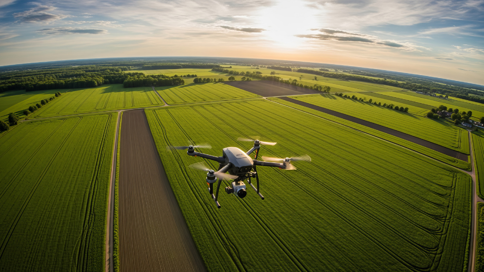
The integration of AI technologies, such as the developed KGML model delivered as a B2B SaaS platform, can empower banks to facilitate sustainable farming practices and support the transition to a low‑carbon economy. The solution offers remote sensing insights on farm‑level N₂O emissions. Through the utilization of satellite imagery, drones and other remote sensing tools, the platform collects comprehensive data on agricultural activities, enabling banks to gain valuable insights into emission hotspots and identify opportunities for emission reduction. The AI‑powered analysis and visualization capabilities help banks navigate the complexities of sustainable farming by providing them with actionable information to support decision‑making and risk assessment.
The KGML model and the B2B SaaS platform work in tandem to enhance the accuracy of emissions estimation, improve risk assessment and promote environmentally conscious lending practices. The use of AI in enabling sustainable farming can also extend beyond emissions estimation and risk assessment. AI technologies can be leveraged to optimize resource management, improve crop yield predictions and support precision agriculture practices. By analyzing vast amounts of data and generating actionable insights, AI empowers farmers to make data‑driven decisions, maximize resource efficiency and minimize environmental impact. This shift mirrors how companies transforming regenerative farming are applying AI, soil science, and remote sensing to scale low-carbon and regenerative practices across real-world farms.

Agriculture
Real‑World Applications
- Risk assessment. Understanding the emissions profile of agricultural supply chains can help banks identify potential risks from regulatory changes, market shifts and climate‑change impacts. By implementing proactive risk mitigation strategies and supporting the transition to low‑carbon agricultural systems, banks can contribute to a more resilient and sustainable agricultural sector.
- Market incentives. Transparent information on emissions intensity incentivizes practices that reduce carbon footprints and promote regenerative agriculture. Banks can play a crucial role in driving the shift towards a sustainable and low‑carbon agricultural sector by encouraging farmers and agribusinesses to adopt sustainable practices, invest in renewable energy and implement climate‑smart technologies.
- Standardization and transparency. Addressing the challenges of estimating and reporting agricultural emissions requires collaboration, knowledge sharing and the integration of emerging technologies. The KGML model can be used to promote transparency in emissions estimates, enabling banks to work together with financial institutions, agricultural stakeholders and scientific communities to develop standardized methodologies and share best practices.
- Influencing policy and regulations. Banks can leverage their insights and data to support the development of policies that incentivize regenerative agricultural practices, promote carbon pricing mechanisms and facilitate the transition to a low‑carbon economy. Through policy influence and advocacy, banks can create an enabling environment for sustainable finance and drive systemic changes in the agricultural sector.
Beyond Farming: Other Applications of This Model
In addition to sustainable farming, the KGML model can be adapted to a range of sectors:
- Transportation. Businesses can optimize routes, minimize emissions and improve public health by knowing more accurate emission levels in logistics and transit planning.
- Environmental monitoring. Environmental protection organizations can use this model to predict air and water quality, track biodiversity changes and forecast environmental impacts. It can also analyze sensor data to provide insights into pollution levels, habitat degradation and climate‑change trends.
- Energy production. Energy companies can apply the model to optimize generation processes, improve renewable energy system efficiency and minimize environmental impacts.
- Manufacturing. Manufacturers can optimize manufacturing processes, reduce waste and minimize pollution by integrating AI‑based emission prediction.
- Urban planning. The model can support sustainable urban planning efforts by analyzing population growth, land use and infrastructure data. It can also predict the environmental impact of urbanization, assess planning policies and inform decision‑making for sustainable development.
Conclusion
The Agreed Earth Omdena AI Innovation Challenge shows that when data scientists collaborate with agronomists, financial institutions and technologists, artificial intelligence can play a pivotal role in sustainable farming. By combining synthetic and real data, the KGML model enables more accurate emission estimates, supports banks in making responsible finance decisions and empowers farmers to adopt low‑carbon practices. This integration of AI for sustainable farming with responsible finance can help the agricultural sector align with global climate goals, ensuring that farming remains productive and profitable while protecting the planet for future generations.